The UK’s environment research council 'Natural Environment Research Council' (NERC) has funded five research projects to explore and develop new ways to improve sustainable food production using satellite technologies.
The 'Satellites to improve agri-food systems' competition was jointly funded by Innovate UK and NERC and will support four collaborative research and development projects and nine feasibility studies.
An increasing world population, greater wealth in developing countries and the trend towards urbanisation are all putting an increasing strain on the world's food supplies.
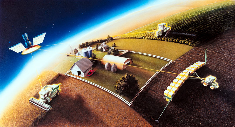
Satellite technology and increased use of data are already helping to increase agricultural productivity and will increasingly help farmers to manage their land in the most environmentally sustainable way.
Satellites can be used to study changes in farmland with a 10m resolution, offering detailed information about crops, grazing land, soil, hedgerows and water.
This can aid decision-making on a range of important issues such as where and when to apply pesticides, herbicides or nitrogen fertilisers, decisions on where and when to irrigate and the best time to harvest crops.
The environmental benefits include helping to reduce emissions of greenhouse gases, maintain soil quality, reduce risks of water contamination and reduce waste.
The project involves businesses, universities and research organisations which will use free and open access data and images from the new Sentinel 1 SAR and Sentinel 2 optical satellites.
The information will be integrated with historic satellite data and environmental data held by NERC, as well as data collected via sensors in the field.
The total funding pot is £3m, including NERC funding of £589k specifically for university and research centre involvement.
The five centres which are receiving funding from NERC are:
• Cranfield University, working with AgSpace, to create a UK soil map to enable precision farming techniques.
• Rothamsted Research, working with Ecometrica, to develop products for environmental compliance and productivity monitoring in agriculture.
• University of Nottingham, working with SOYL Precision Crop Production, to provide interpretation tools and predictions of spatial variability in yield to guide precision farming decisions.
• De Montfort University, working with Mfatech Limited to deliver a low-cost crop management system that can be used by farmers to deliver a near real-time personalised map of the state of their crops and fields.
• Leicester University, working with Precise Crop Nutrition Limited, to establish the technical feasibility of a hand held device which can be used on-farm to convert commissioned satellite images to variable nitrogen application programmes.
