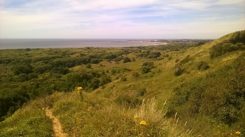
Cattle will be fitted with trackers that monitor their location, movements and grazing areas in a bid to improve one of Wales' most important habitats.
High-tech satellite tracking technology will be used to follow cattle and sheep around at Merthyr Mawr dunes, near Bridgend, in a Welsh first.
The cattle grazing the grass behind the dunes will be fitted with the trackers, Natural Resources Wales (NRW) says.
Information gained from the trackers will be able to help highlight the cattle’s preferred grazing sites.
Conservationists can then move the cattle away from areas that need to grow to sections that need to be cut back.
The data is also fed back to the farmers smart phones which gives them a live location of where their livestock are at any one time, reducing the time and resource cost in collecting them.
Other farmers in the project were keen to investigate whether GPS tracking could help them manage their stock in areas of challenging terrain.
Each have different motivations for taking part including knowing where their stock are and alerting them to unusual behaviour that could be linked to theft.
Over a longer timeframe, the collected data can be used to study the social interactions of the herd, especially parent to off-spring relationships and contact with other animals.
Rob Williams, the cattle owner at Merthyr Mawr, said: “Trialling this type of technology with my cattle is an opportunity to test whether it can help with managing livestock in these areas where food production, conservation grazing and visitors enjoying the outdoors are all important outputs.
“The other participants are testing these trackers on both cattle and sheep across a range of sites with similar characteristics in Wales.”
The site at Merthyr Mawr is one of four across Wales where the technology is being tested.
It's also taking place at sites on the Black Mountains, the Brecon Beacons and on Anglesey, North Wales.
